Saksahan
From Wikipedia, the free encyclopedia
|
|
This article needs additional citations for verification. Please help improve this article by adding citations to reliable sources. Unsourced material may be challenged and removed.
Find sources: "Saksahan" – news · newspapers · books · scholar · JSTOR (June 2023) (Learn how and when to remove this template message) |
Saksahan
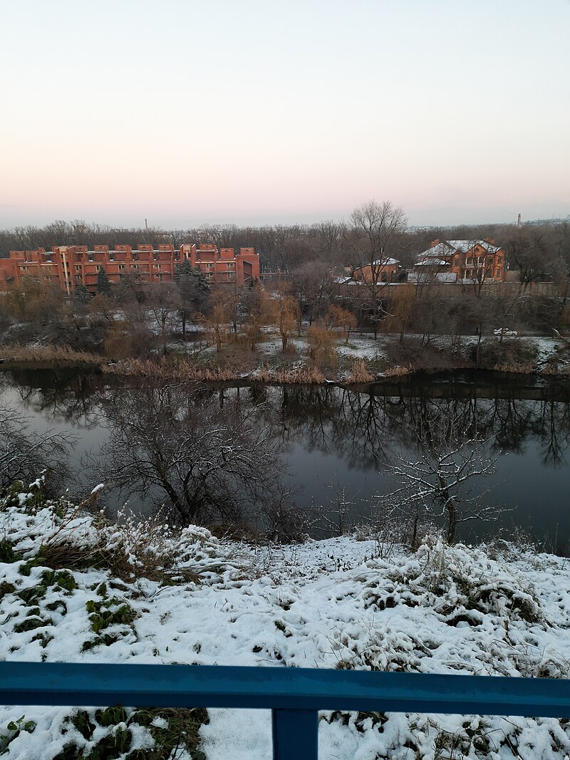
 The Saksahan in Kriviy Rih in winter |
|
| Саксагань (Ukrainian) :Native name | |
| Ukraine : Location Country | |
| Kryvyi Rih :Cities | |
Physical characteristics Source |
|
| 48.2613°N 34.1022°E :• coordinates | |
| Inhulets :Mouth | |
| 47.5351°N 33.1959°E :• coordinates | |
| 144 km (89 mi) :Length | |
| 2,025 km2 (782 sq mi) :Basin size | |
Basin featuresProgression: Inhulets→ Dnieper→ Dnieper–Bug estuary→ Black Sea |
|
The Saksahan (Ukrainian: Саксагань) is a river in Ukraine, in the southeastern part of the Dnieper Upland.[1] It is a left tributary of the Inhulets (Dnieper basin), joining the Inhulets in the city of Kryvyi Rih.
The name is derived, according to some sources, from the Turkic word Saksagan (magpie).
A village of the same name is found on the left (west) bank of the river.
The river lends its name to Saksahansky urban district of Kryvyi Rih city.[2]
The source of the river, in the modern territorial division, located by the village of Malooleksandrivka [uk], Kamianske Raion, situated at an altitude of 140 meters above sea level.
The river is 144 km long (according to some sources, it has a total length of 130 kilometers). The width of the river bed is an average of 5–15 meters, although in places it broadens to 20–40 (29 to 40) meters (watershed line - 250 km).[clarification needed]
References
'Kievan Rus' 카테고리의 다른 글
| <펌>Inhulets(river) (0) | 2024.01.16 |
|---|---|
| <펌>Magpie (까치) (0) | 2024.01.16 |
| <펌>Garoariki (ver 1/12/24) (0) | 2024.01.13 |
| <펌>Vyazma (0) | 2024.01.12 |
| <펌>Smolensk Upland (0) | 2024.01.11 |